Content:
Garmin® TOPO U.S. 24K
On microSD™/SD™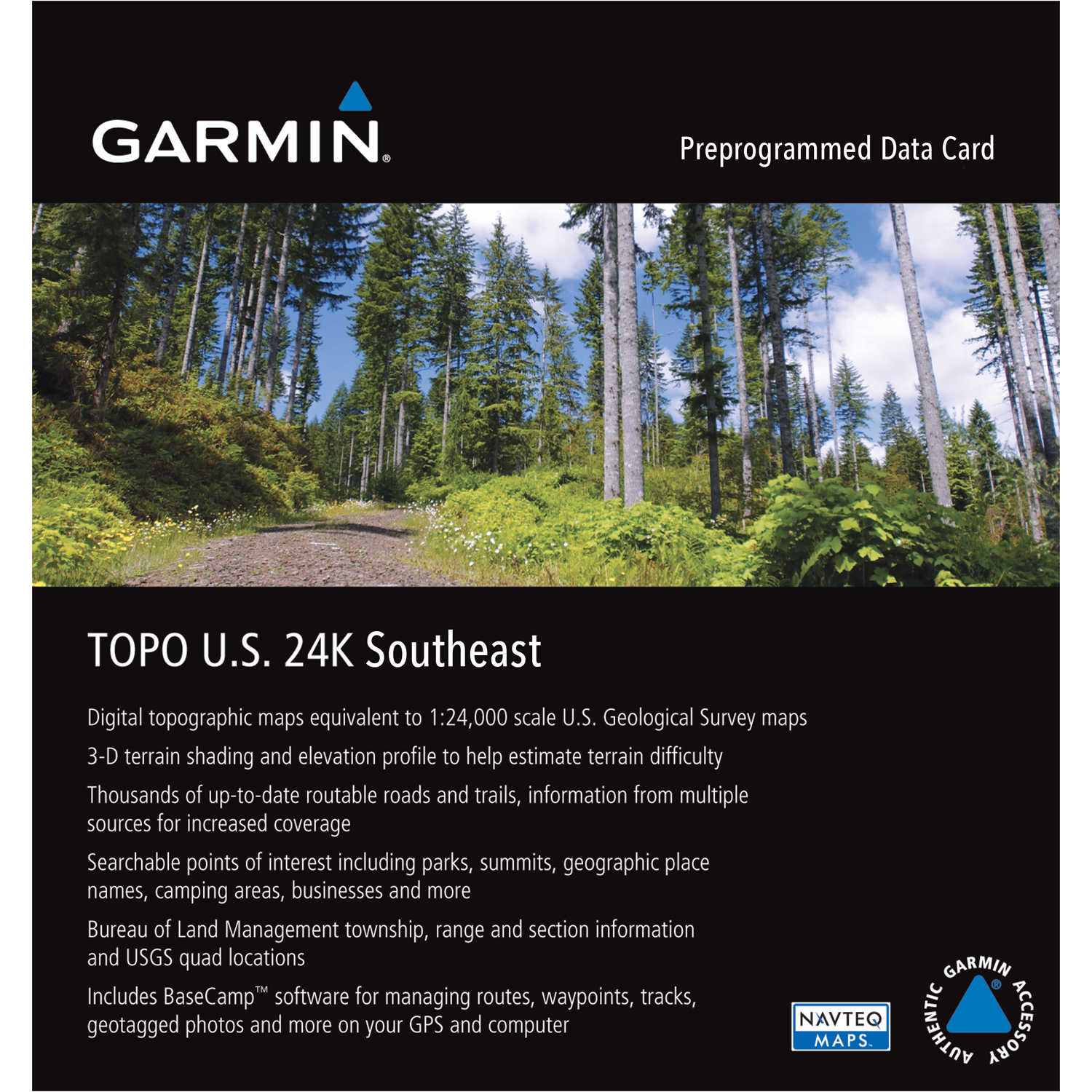
Share by:
Alabama, Delaware, Florida, Georgia, Kentucky, Louisiana, Maryland, Mississippi, North Carolina, Puerto Rico, South Carolina, Tennessee, Virginia, and West Virginia
These preprogrammed microSD/SD cards feature detailed 24K topographic coverage including dense elevation contours and enhanced shoreline detail. Built-in Digital Elevation Model (DEM) data supports 3-D terrain shading and route elevation profiles in compatible units. With routable roads and trails in metropolitan and rural areas you can easily create point-to-point routes. You can also get turn-by-turn directions on compatible units and search for points of interest by name or proximity to your location.
We encourage our customers to let us know what experiences they have had with our products, whether good or bad. By submitting a review, you can share your experiences with others and also provide valuable feedback to us as well. With just a few simple steps, you can add your review of this product.
Your review may be posted on the web site within three business days and becomes the sole property of PECO Sales.
Items marked with a red asterisk (*) are required
By submitting your product review, you agree to our Privacy Policy and Online Acceptable Use Policy.
 Have A Question About This Product?
Items marked with a red asterisk (*) are required
Have a problem, comment or any issue with this page? Then we want to hear from you! If you have a suggestion on how we can improve this page, please let us know in the comment space below. Please, provide as much detail as possible to help expedite your request.
Items marked with a red asterisk (*) are required
Thank you for your comments about this page.
An error has occured. Please try again.